Stilleto Lookout

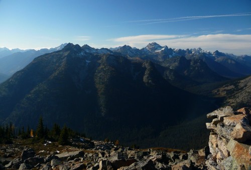
Top photo: What remains of the Stilleto lookout.
I like being outside; backpacking, climbing, exploring. Its kind of what I do. My Mom might say that I play a lot, but I like to say that I play with intention. My intention on this particular trip was to hike to the old Stiletto Peak lookout. Ian was with me……he likes to play outside too.
Our plan for the day was to go for a leisurely stroll through the forest, look at the mushrooms, see some critters if we were lucky, marvel at the brilliant October fall colors, and be awed by the view.
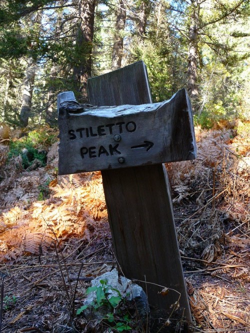
We set out mid-morning, following the Pacific Crest Trail along Bridge Creek. We quickly came to a junction were we headed south into the Bridge Creek Valley. It was at this junction that it became obvious that the Stiletto Peak trail is not heavily used. We crossed countless braided, muddy streams; balanced precariously on more than one old, tilted, slippery log bridge; and clambered over a number of large, downed trees. For Ian and I this added to the appeal, solitude is often what seek. Just after passing the North Cascades National Park sign we found the Stiletto Peak sign. In plain view. We’d been warned that the sign is easily missed and that the trail is hard to follow. With autumn upon us the bracken fern had nearly all fallen and the sign was easily spotted.

Stilleto Peak sign
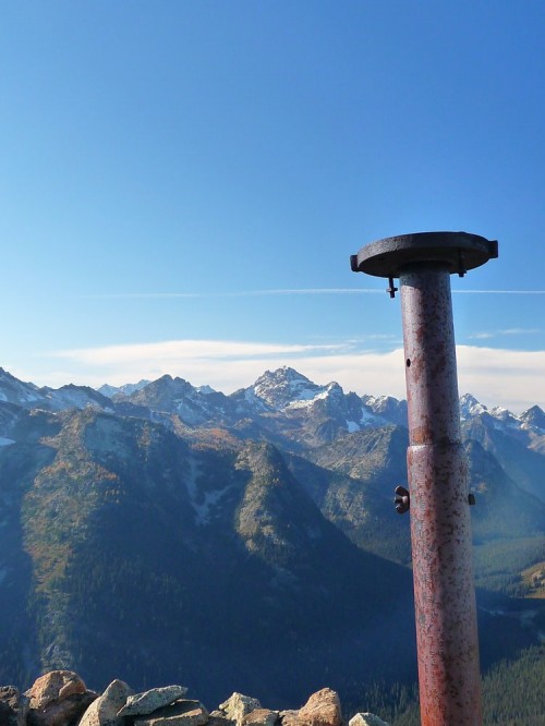
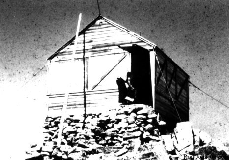
This is where the trail got down to business. We climbed roughly 2,100 feet in three miles, with views opening slowly to the south. The trail eventually broke into a large, rock strewn meadow. From here we picked our way along a faint, broken path to the old lookout site at 7,223 feet on the west ridge of Stiletto Peak. The only evidence that remains of the lookouts’ existence is a strange assortment of glass shards; rusty nails; a tall, weathered stand upon which the compass used to perch and the rock walls that once served as the lookouts’ foundation.

A remnant of the lookout, the old compass stand.
Standing at the old lookout site we realized why it had been built there. The views from site were basically 360 degrees. What beautiful, craggy, vast country. The Liberty Bell group to the northeast, the south face of Tower Mountain to the north, the giants of Park Creek Pass to the west, Highway 20 to the north and countless peaks both named and unnamed in between.
We didn’t hang out long at the old lookout site; just enough time for snacks, photos and chatting about which peaks on the horizon we’d love to climb next. We cruised down the mountain, hoping to make it back to the trailhead before the last of the day’s light slipped away. We made it back without our headlamps, but just barely.


Sweet