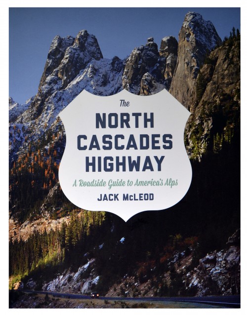
The North Cascades Highway: A Roadside Guide to America's Alps
By Jack McLeod
Meet Jack and hear him present from his new book The North Cascades Highway: A Roadside Guide to America’s Alps, published by University of Washington Press, on Saturday, September 7, at 4 pm at Village Books in Bellingham; free!
It’s easy to fall in love with the North Cascades. Many writers in this blog have expressed wonder and joy with forest discoveries, amphibians, seasonal changes, canoe trips, the magic of winter, and connections to people and place. I delight in ephemeral beauty like unfolding fiddleheads and evening sunlight but as a nature-lover, I have to confess an odd love affair. It’s this road. Highway 20. The asphalt ribbon. It slices the wilderness and carries up to 1,000 vehicles a day. It’s invasive. A scar. Yet I’ve spent way too much time standing on the side of the road thinking about this place and taking pictures. It’s what brings us passage to trails and flowery meadows and alpine lakes and autumn’s feast of golden larch. A conundrum.
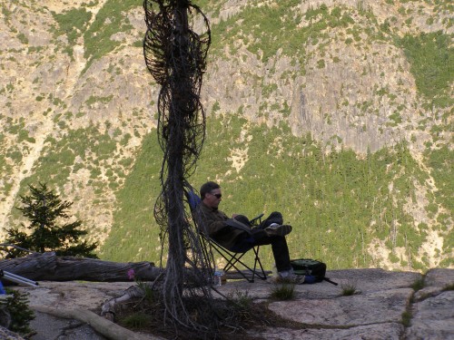
My interest in Highway 20 started with a question. A friend asked about the names of the peaks. I made a labeled picture which led to unearthing stories behind the views. I found myself eating breakfasts, lunches or dinners in a folding chair at choice roadside pullouts. Love that mountain air, but really? A few more photos, more research and ten years later, a book appeared: The North Cascades Highway: A Roadside Guide to America’s Alps (University of Washington Press).
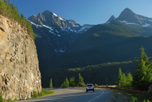
For most travelers, the road is a transparent tunnel guiding their car efficiently from end to end. Admire the view through glass but keep moving. As readers of this blog know, beyond the glass is an extraordinary realm, understood best on foot. This book is an attempt to bring familiarity and curiosity and perhaps the desire to slow down, get out and appreciate a deeper beauty and connections to a world more intricate than we had imagined. The book is based on a highway, but it’s about what’s on the sides: geology, natural history, and how miners, climbers, and poets have been inspired by the North Cascades.
Invitation
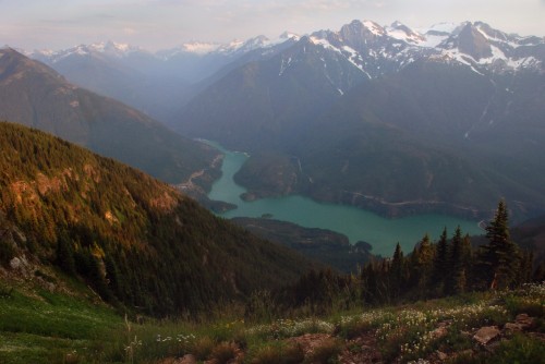
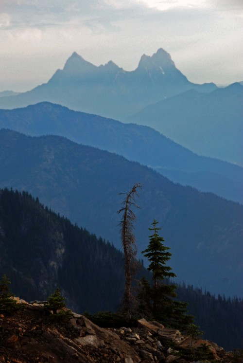
HIGH ON THE RIM of Sourdough Mountain, evening light replenishes my soul. This is why we visit the North Cascades. To slow down, to decompress, to revive. I watch summer’s glow illuminate sepia cliffs and a kaleidoscope of blossoms while across the valley, steep, snow-covered pinnacles soften in warm pastels. The tiny road I left five thousand feet below twists around turquoise Diablo Lake. Alpine fragrances hang in the air—sun baked fir mingles with ephemeral aromas of wildflowers and the earthen smell of sixty-nine-million-year old Skagit Gneiss trail dust. I’ve arrived. I’ve walked into a miraculous convergence of August sun, a thousand blooms, and a North Cascade ridge looking over the world.
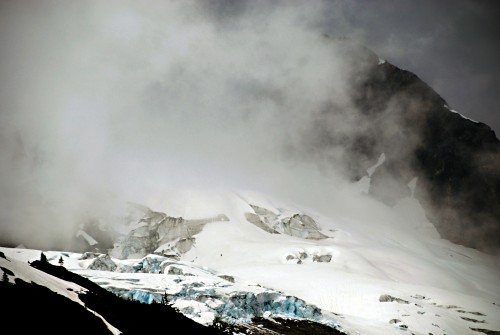
Skagit Valley, Tales Below
ICY INVADERS once inched from their hideouts in the hills, bringing riches down to the valley. You’re driving across their remains. Glaciers are geologic escalators with one direction: down. Their passengers? Rocks and sediment. Creating a reversal in topography, these fragment-filled tributaries of ice scrape at alpine heights then transport their captive stones to valleys far below. About fifteen thousand years ago they spilled out like fifteen million dump trucks leaving their loads. As the last ice age ended, the glaciers melted away, leaving behind deep deposits of sand and gravel—former mountaintops relocated to future floodplains. Excavated all across the northern United States, these glacial deposits are now used as a resource to make roads, like the one transporting you back up the glacier’s path.
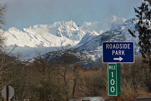
Eldorado Peak
ELDORADO IS COMING DOWN. Ice and water are conspiring with gravity to wear Eldorado and surrounding peaks to a more pedestrian-friendly elevation. The Inspiration, Klawatti, and Eldorado Glaciers transfer entombed rocks to precipitously steep creeks, where stones crash and smash into ever-changing collections of fragments. Far, far downstream from Eldorado’s alpine heights, the Skagit River deposits specks of Eldorado Peak at your feet. Pick up a fistful of sand and hold the North Cascades in your hand.
Eldorado Peak’s story stretches back ninety-two million years. Long before the Cascades were here…
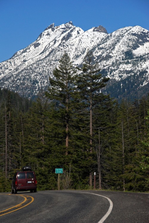
The Place Inbetween
IT’S THE APPROACH . . . the transition . . . This stretch of road is the portage between North Cascades wilderness and a string of arid towns along the Methow River, dots leading to the vast open landscape of eastern Washington. Neither high peak nor lowland valley, it’s a place of anticipation or relief, depending on the traveler’s direction and taste for alpine heights.
The dry Methow Valley is the geologically extroverted cousin of the rain-soaked Skagit Valley west of the mountains. Like two reverse images in film, they have similar but converse appearances. Through both, the road and river meander together, leaking out of the mountains. But while the west side is hidden in green, the east is a sidewalk sale of geology, with goods easily visible for all who pause to look.
This stretch links distinctly different geologic terranes. To the west are twisted, fractured, and scarred remains of continental collisions. …
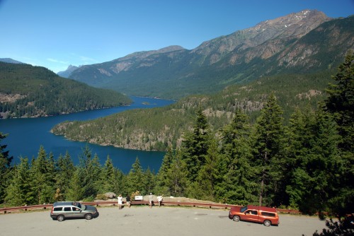
Supermarket and Toolbox
Long before this valley was dammed, Skagit people journeyed along the meandering Skagit River. Where twenty-first-century hikers go to get away from it all was a highway system and shopping network for early inhabitants. They traversed these valleys and ridges to gather and process resources: plants, fish, birds, and mammals (lily root, huckleberry, trout, grouse, deer, bear, weasel, and much more). Even rocks. Some resources, such as chert and goat wool, were collected for trade with other Salishan-speaking peoples.
Archaeological digs in the area reveal five-thousand year old camps. Fire pits; cutting, crushing, and scraping tools; and a variety of bones all suggest active camps for meat, grease, and marrow processing and for dressing hides. Tiny amounts of organic residue still exist in rock fractures. Protein analysis reveals a who’s who of woodland and alpine animals, from snowshoe hare to mountain sheep. Soapstone pipe fragments, nuts, and seeds have also been found.
Artifacts of another kind are found at higher elevations. More than two hundred million years ago, trillions of microscopic radiolarians died, sank, and left their silica-rich skeletons on the seafloor. Bulldozed by tectonic orogeny, the seafloor became local hills containing chert—the microcrystalline quartz remains of radiolaria, and an excellent rock for flaking into sharp objects. Archaeologists found relatively recent to eight thousand- year-old chert-processing camps high in these hills. Fire-pit charcoal is dated by measuring the radioactivity of stable and unstable isotopes of carbon.
Here are three helpful links followed by a few short excerpts from the book.
Book talk schedule and locations: http://jackmcleodphoto.com/events/
Book Trailer: http://www.youtube.com/watch?v=giKb2A0EaZo
UW Press: http://www.washington.edu/uwpress/search/books/MCLNOR.html
I hope the book brings you as much pleasure as it brought me while creating it. And I hope you can make it to one of the book talks!

