The Skagit River Watershed’s Geologic Evolution
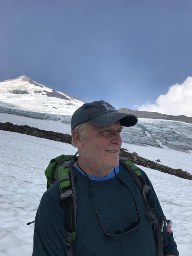
By Dr. Jon Riedel
The Skagit River is the heart and soul of the North Cascades. It is by far the largest watershed in the southern arms of the Salish Sea, draining an area of topographic riddles and complex geology.
I have been a student of the Skagit’s natural history since I first set eyes on the valley in 1980. My focus as a geologist for the past 44 years has been writing the glacial chapters of the geologic story of the Skagit River watershed. I am offering a Field Excursion on June 8 with the North Cascades Institute that will allow me to share some of the Skagit’s remarkable geologic stories at five key sites between Diablo and Concrete. Along the way, I’ll relate how these changes influenced the natural history of the watershed, from salmon to rhododendrons to fields.
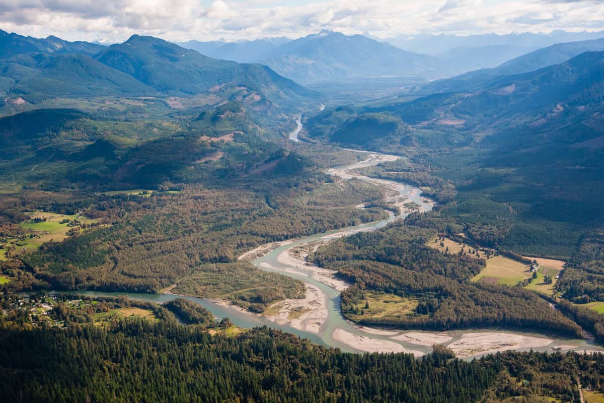
My telling of the Skagit geology story begins at dawn of the Ice Ages – 2.5 million years ago! – when the upper Skagit River flowed north to the Fraser River. The smaller, west-flowing lower Skagit River at that time was separated from its future partner by a mountain divide called the Skagit Crest. Continental ice sheets moving down Skagit Valley sliced through this divide early in the ice ages, creating the Skagit River Gorge and leading to the capture of the upper Skagit River by the lower Skagit River. This change had a profound influence on the size and subsequent natural history of the valley.
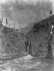
The enlarged Skagit Watershed was shaped by several other more recent events. A valley glacier emanating from the Baker River Valley blocked the Skagit River at Concrete diverting it to flow to the sea via the Stillaguamish River during the last ice age. Massive glacial outburst floods as the ice age waned returned the Skagit to its former course. One of these floods carried the flow of the Fraser River through Skagit Gorge. Imagine the sound and fury of that much water surging through the 18 foot-wide canyon at the base of Diablo Dam!
Later, a massive landslide 9,000 years ago blocked the river a few miles above Marblemount. Lake Ksnea persisted for more than 1,500 years behind the wide landslide dam, but eventually filled with volcanic ash from the cataclysmic eruption of Mount Mazama in Oregon 7,500 years ago.
The watershed would continue to grow at the hand of Glacier Peak, one of its two volcanoes. An eruption about 6,000 years ago sent a massive wave of sediment down the White Chuck River. A large amount of the sediment came to rest at the town of Darrington, and when the Sauk River cut through this deposit, it found a new course to the north, away from the Stillaguamish River, to join the Skagit River. This led to another significant addition to the size of the Skagit Watershed and created conditions for lahars to flow down the Skagit to the sea, building large parts of Skagit delta.

These profound geologic changes to the watershed shaped the ecology of Skagit Valley in many ways. Fish migrated through low-elevation connections between mountain valleys when linked by ephemeral drainage of ice age lakes. After the last ice age, people, rhododendrons and many other species used these same corridors to reach deep into the North Cascades.
These are just a few of the highlights in the rich geologic story of the Skagit River Watershed. Join me and the Institute on June 8 to see traces of these events in person as we explore this dynamic river from the Diablo Lake Overlook to Concrete.
Jon L. Riedel holds a M.S. degree in Geography from the University of Wisconsin and a Ph.D. in Earth Science from Simon Fraser University (2007). His academic and professional career have focused on understanding the glacial and fluvial history of Skagit Valley, and he has published more than a dozen peer-reviewed studies.
Jon retired from the U.S. National Park Service at North Cascades National Park after a 40-year career as an interpreter, ranger, wilderness steward, and geologist. Major accomplishments include development and implementation of erosion control plans for Lake Chelan and the Skagit reservoirs. He established a glacier monitoring program at North Cascades NP in 1993 that was extended to Mount Rainier and Olympic national parks in 2003 and 2013.
Jon continues to be active professionally as a licensed geologist with his consulting business, Skagit Quaternary. He is a Research Associate at Western Washington University, serves on the board of directors for the Northwest Scientific Association and the Skagit Climate Science Consortium, and is an alternate U.S. Commissioner for the Skagit Environmental Endowment Fund.
Top photo by Benj Drummond; B&W Skagit Gorge from the SCL collection; Aerial of Skagit Gorge by John Scurlock.