Véronique Robigou: Artistic Mapper in Residence

Véronique Robigou participated in the North Cascades Institute’s Creative Residence Program this winter, joining the tradition of poets, naturalists, dancers and researchers who have participated in the past.
As described by the Guild of Natural Science Illustrators Northwest, Véronique is an “artist, scientific illustrator, geologist and educator.” She launched the Ocean et Terra Studio in 2011 to “create visual stories of the world around us.” Trained as a geologist she has worked on scientific crews illustrating undersea vents far, far beneath the surface. She now mostly uses her gifts to educate students about how to capture the essence of nature in their own work.
Véronique discussing the Sea Vents she illustrated.

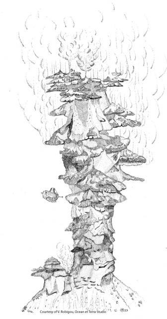
Véronique’s illustration of the Godzilla Vent. Note the submersable that she drew from located on the left hand side of the illustration. Retrieved from marine-geo.org
During her time at the North Cascades Institute the 15th Graduate Cohort was fortunate enough to meet with her to discuss how to weave our scientific curiosity with our artistic talent. We spent a lot of time discussing the fine line between an accurate presentation of pure data and flexing our creative licenses.
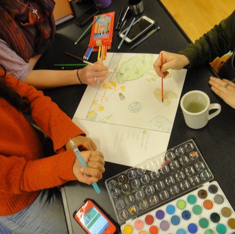
Just having an afternoon, Véronique lead us in an activity of artistic mapping. She had found that maps provide a perfect canvas for clear data presentation and artistic expression. We went out and took pictures, notes and sketches of a simple 12 inch X 12 inch plot of area around Diablo Lake. After we collected as much data as a soggy January day would allow, we raced back to the warmth of the classroom to finish our maps.

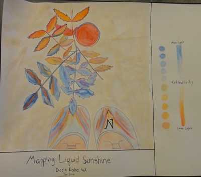
Emily, Aly and Joe’s piece on reflectivity on a plant and pipe during the rain. Photo courtesy of Véronique from her blog post of that day.
The results came out as varied and wild as the students in the cohort! Emily, Aly and Joe took a particularly creative approach and explored how reflective different parts of their plot was. Instead of color representing what we see on our hikes, color was used as a scale much like a heat map. They also had a few little fun details like incorporating the compass into the design of the shoe.

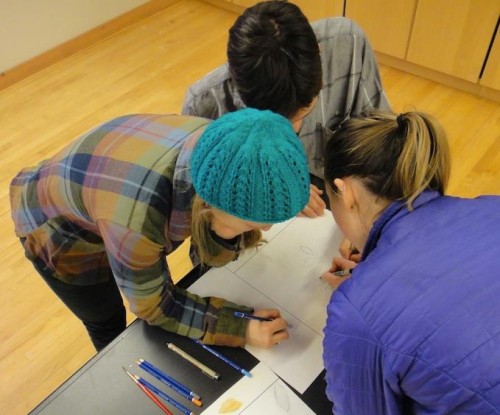
Emily (left), Aly (right) and Joe (top) working hard on their “Liquid Sunshine” map. Photo courtesy of Véronique from her blog post of that day.
Thank you Véronique for instructing and being an inspiration for us!


Thank you Ben for your article.
And thanks to the entire cohort 15 for your enthusiasm for mapping and knowledge of the area. It was a pleasure to meet you all, have long discussions with many of you, and lead the mapping workshop for all of you!
Amicalement, Véronique