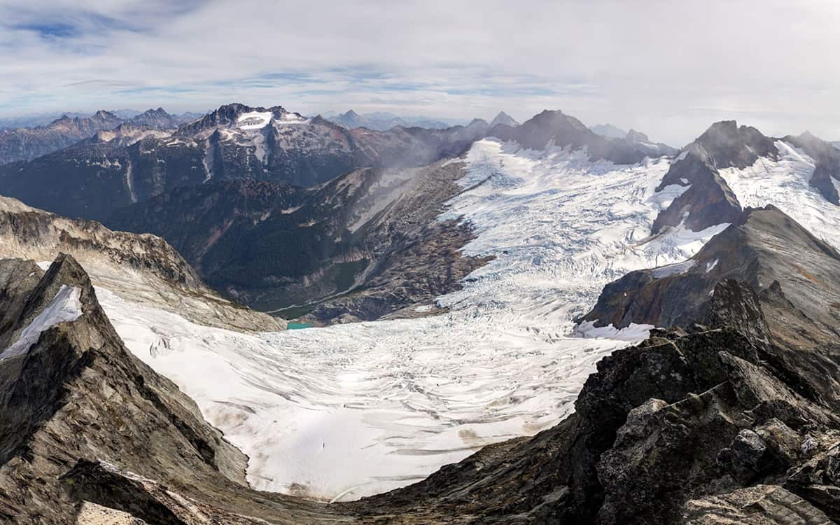
The Birth and Death of a Glacier
Slowly, gently, the snowflake spirals downwards. It pirouettes through the sky, first drifting this way, then another, finally coming to rest on a precarious pile of powder. It’s mid winter in the Cascades and this recently settled snow crystal destabilizes the system. A sudden crack cuts through the mound of snow and it begins to slide–a crystal river that gushes between rimed rocks and snow-filled crevices as it flows downwards.
The avalanche thunders down the slopes, entraining a mountain of snow amidst its chaotic crashing until it piles up five meters deep in the cirque below. It is just one of many avalanches that accumulate throughout the winter, building a mass of frozen water, which by the end of the season may be thirty meters deep. In the spring as the temperatures rise and the sun emerges, this immense pile of snow will begin to melt. All around it, snow will evaporate and water will pour off the slopes in rivulets, but in the north and east facing nooks the sun rarely reaches, the snow will survive. By late September or early October the first snowy refresh of the season will stop the bleeding. The snowpatch has survived a year!
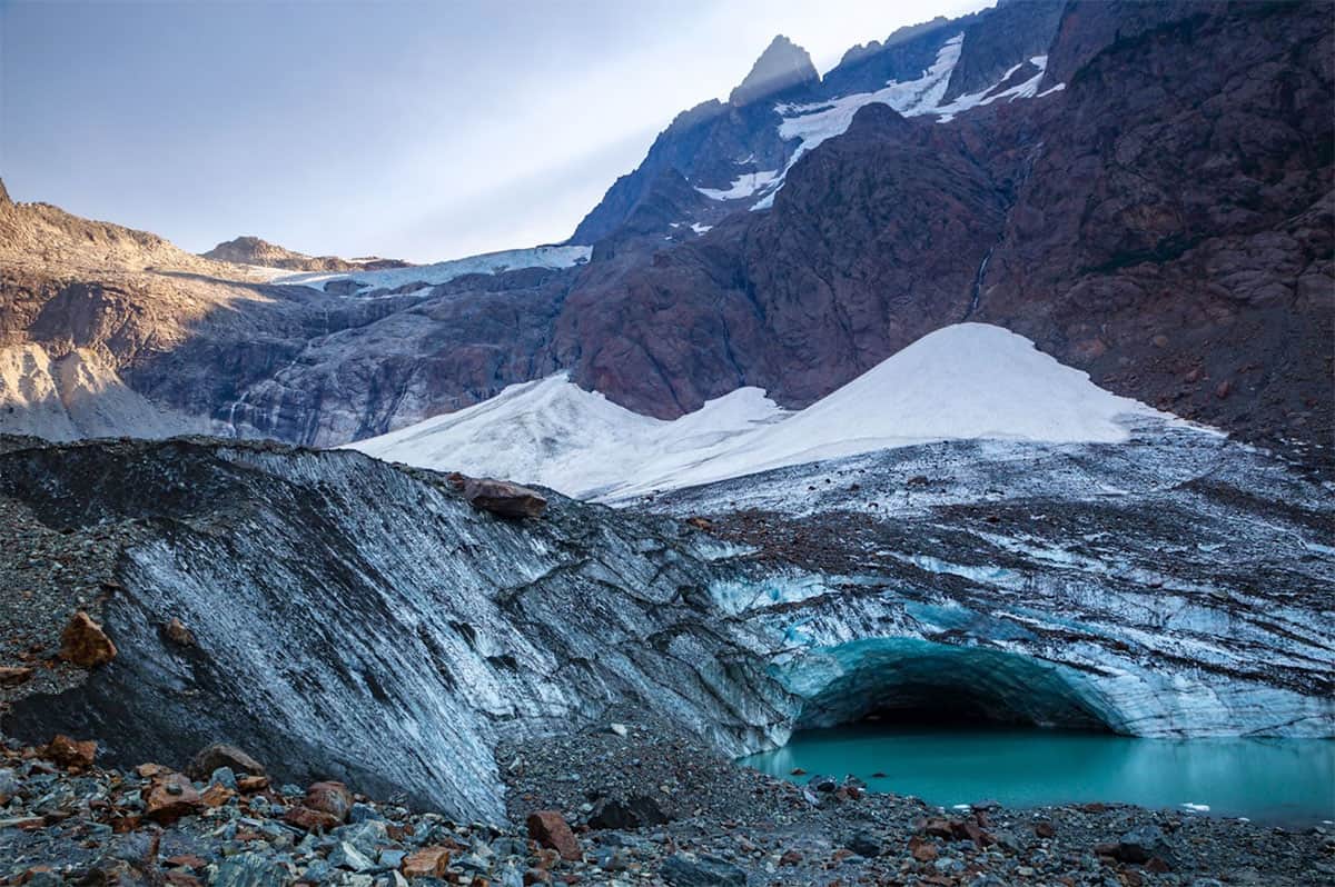
Time relentlessly flows onwards; another winter passes with more snow, rain and wind. By spring the snow pile is just a bit bigger and just a bit more makes it through another hot summer. This cycle continues year after year, the snow pile growing thicker with each successive season, the pressure building at the bottom as layer builds upon layer. Over time the snow at the base begins to change character. After a few years, what was once soft, fluffy snowflakes has compacted into a hard, dense ice as time and pressure squeeze out the air–“purifying” the ice. A stunningly blue crystalline structure forms, absorbing the longer red wavelengths of light and reflecting the shorter blue wavelengths.
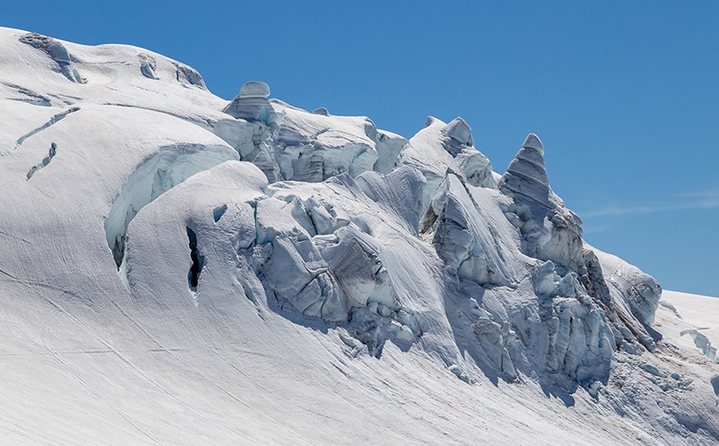
While pressure compresses the snow into dense ice, gravity pulls the thickening slab of ice and snow downwards. At first the snow mound resists–it’s perfectly content to sit in its cirque–but as the mound grows, it begins to deform under its own mass, behaving like a viscous liquid that oozes across contour lines. Continued ice accumulation upstream intensifies this movement while friction with the bedrock below resists it. Giant cracks–called crevasses–emerge where the ice fractures as chunks slide down the slope at different speeds. As it moves, the hulking hunk of ice carves and pulverizes rocks beneath it, gouging out the land like a slow moving excavator. The fine powder, or flour, left behind by this action, will flow downhill during periods of melt and will dye alpine lakes below a turquoise green, evidence that the mountain has birthed a baby glacier.
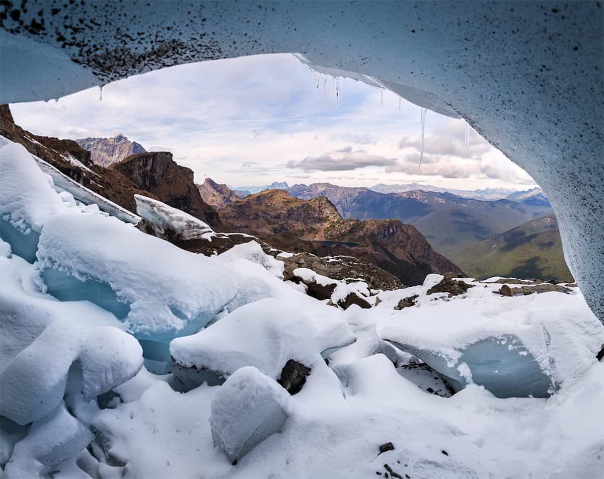
There are more than a thousand glaciers in the United States outside of Alaska and more than half of them are in the North Cascades (Fountain et al., 2017). To officially transform into a glacier, a chunk of snow and ice must survive through multiple summers and must move under the forces of gravity acting on its large mass. While continuous observations to detect most glaciers’ movement are impractical, glaciers are also frequently identified by the presence of crevasses or by a minimum size threshold that can distinguish between inert ice patches and active glaciers.
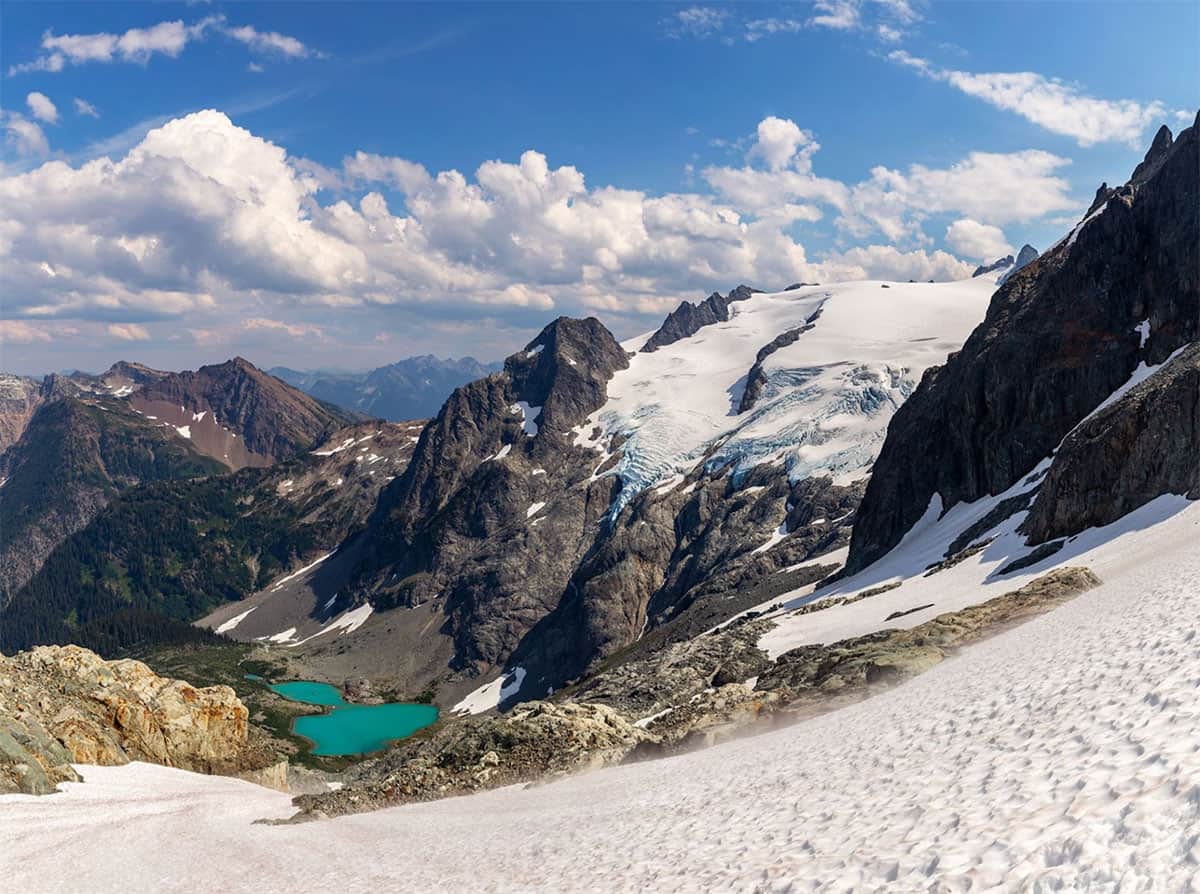
To move under their own mass, glaciers usually must be at least 15-30m (50-100’) thick and at least 0.01-0.1 km^2 (2-25 acres) (Dick 2013). Thus the smallest glaciers are anywhere from the size of a couple sports fields to a few city blocks. Using this size metric, there are between 230 and 700 glaciers in the North Cascades (Fountain et al., 2023), many of which are small enough to be unnamed and unnoticed. Counting glaciers is made even more challenging by the difficulty of distinguishing between them. Glaciers can appear to be a single mass of ice while flowing in separate directions and, as glaciers melt, they can split into fragments leading to a surprising increase in the number of glaciers. This break-up has contributed to at least 80 “new” glaciers in the North Cascades since they were named in the 20th century (Fountain 2023).
To see the impacts of climate change on the North Cascade glaciers, it’s more helpful to look at the total ice area rather than number. Recent glacier coverage peaked in Washington during the 19th century at the end of a period of cooler than normal temperatures across the northern hemisphere deemed the “Little Ice Age.” At that time over 500 km^2 of glaciers covered the North Cascades (Dick 2013). By the mid 19th century that area had roughly halved to about 260 km^2 and in the last 50 years, another 30% of the ice coverage has been lost, dropping to 180 km^2 (Fountain 2023). Across the western US, the story is the same, with a 30-40% drop in glacier coverage since the 1980s.
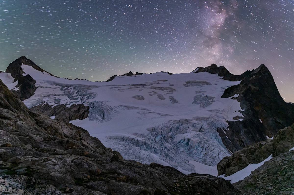
This glacier loss can be seen from the smallest glaciers in the range, a couple of which near Cascade Pass melted enough within just the last couple years to have functionally disappeared, to the largest. And with a string of record warm and long-lasting summers over the last decade, the rate of glacier loss seems to be accelerating. Within the last eight years, the Boston Glacier has lost 10% of its area, dropping from 6.07 km^2 in 2015 to 5.45 km^2 by September of 2023.
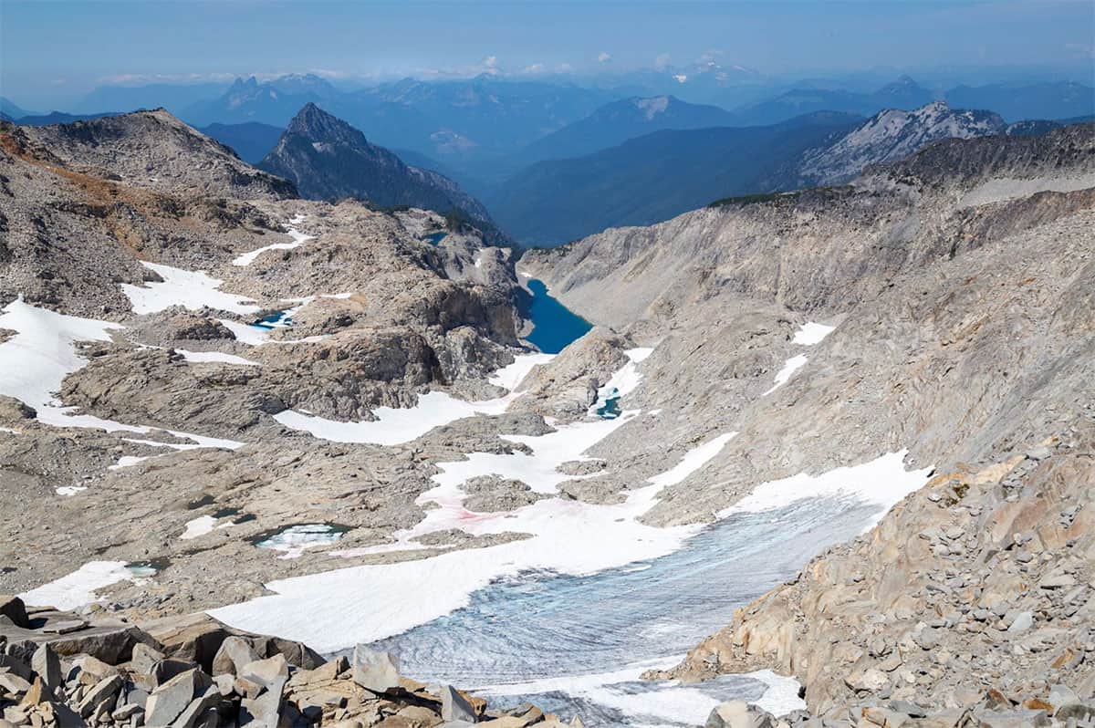
The North Cascades glaciers have long lived life on the edge. Normally glaciers live, grow, and die where the average annual temperature hovers around or below freezing. They thrive in the polar regions and on the tallest peaks, where temperatures remain frigid. In the PNW, the extreme levels of winter snowfall have built glaciers even when warm annual temperatures should prevent them from forming. But as more rain falls instead of snow during the winter and the summers burn brighter and last longer, many of the North Cascades glaciers may become more temporary wonders that will melt annually just like the rest of the winter snows.
About the Author
Wyatt Mullen is a Skagit based landscape photographer and science communicator interested in the impacts of climate and weather on the North Cascades region. He has spent much of the last three decades exploring the trails, forests, glaciers, and mountain summits of the North Cascades and in 2023 worked with the Institute as a program instructor. His work can be found on wyattmullen.com or through daily science based posts on Instagram: @wyatt.mullen.
Sources
Dick, Kristina Amanda, “Glacier Change in the North Cascades, Washington: 1900-2009” (2013). Dissertations and Theses. Paper 1062.
Fountain, Andrew G., et al. “The Geography of Glaciers and Perennial Snowfields in the American West”. Arctic, Antarctic, and Alpine Research, vol. 49, n. 3, 2017, pp. 391–410, doi:10.1657/AAAR0017-003.
Fountain, Andrew G., et al. “Inventory of glaciers and perennial snowfields of the conterminous USA”. Earth System Science Data, vol. 15, n. 9, 2023, pp. 4077–104, doi:10.5194/essd-15-4077-2023.


Thanks, Wyatt, for sharing your beautiful images and such great information about glaciers. I’m always amazed to know that more than 1/2 of the glaciers in the US outside of Alaska are HERE! I really hope they won’t go away too quickly.